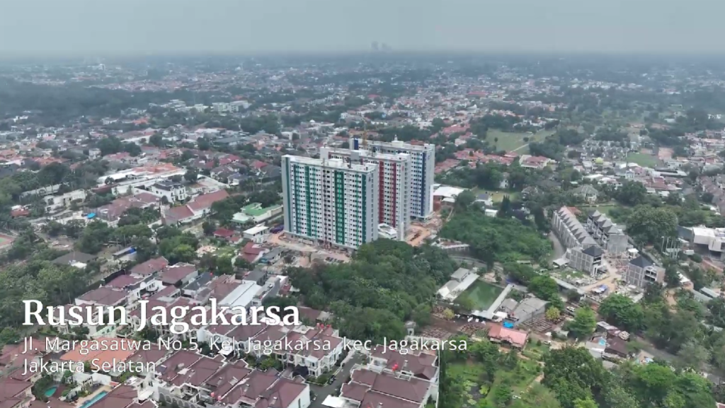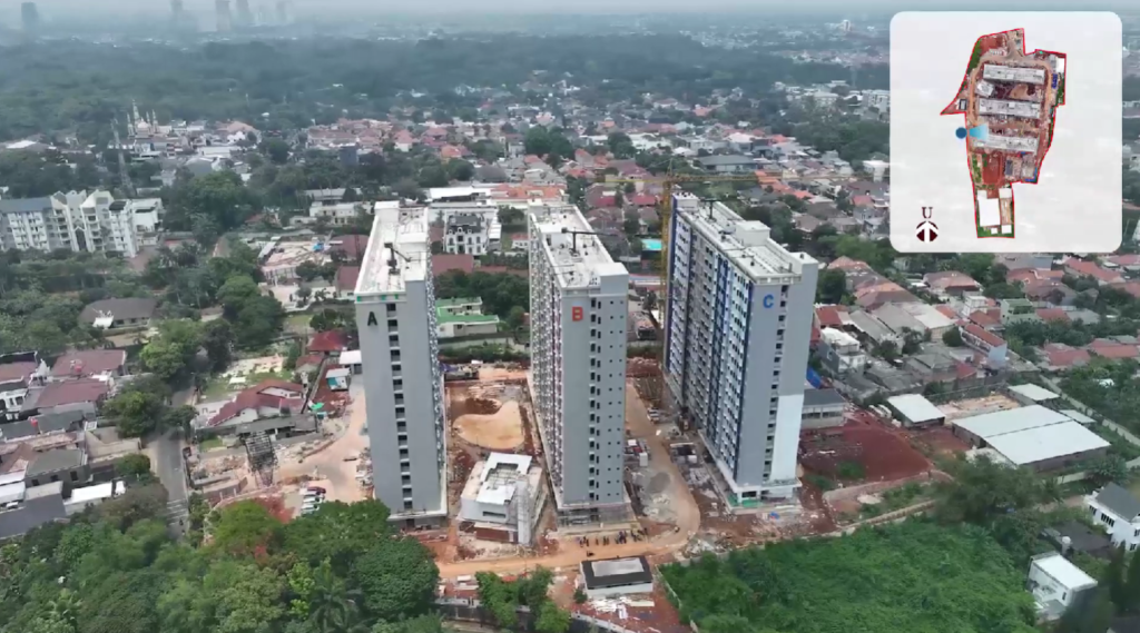
An aerial photography project aimed at mapping the land and rumah susun (public housing units) boundaries of the DKI Jakarta Provincial Public Housing and Settlement Areas involves the strategic deployment of drone or aerial camera technology to capture high-resolution images from above. The primary objective is to obtain detailed visual data that delineates the boundaries of rumah susun and surrounding land within the province. This data is crucial for urban planning, management of housing resources, and resolution of land disputes.
The project encompasses several phases, including the planning of flight paths to cover the entire target area, the actual aerial photography carried out by drones equipped with high-precision cameras, and the processing of the captured images to create clear and accurate boundary maps. The maps produced from this project are expected to be utilized by government bodies for better governance, infrastructure development, and resource allocation. Additionally, the imagery can help in monitoring compliance with zoning regulations and in planning upgrades to public amenities. This project is not only technical in nature but also serves a significant socio-economic function by contributing to the orderly development and management of urban spaces in Jakarta.